COLLECTION GALLERY 1
Fact and Fiction
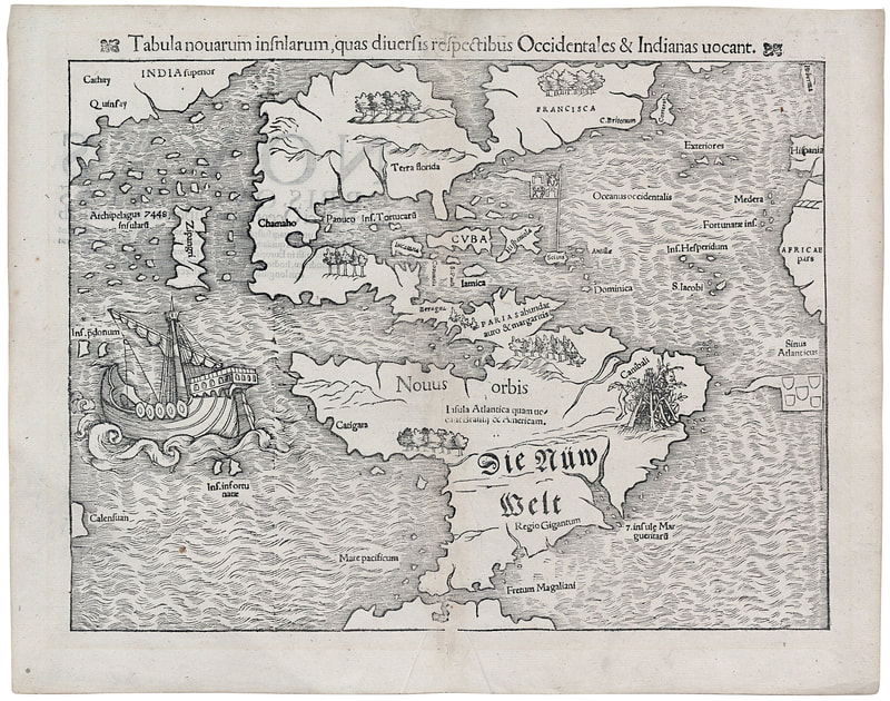
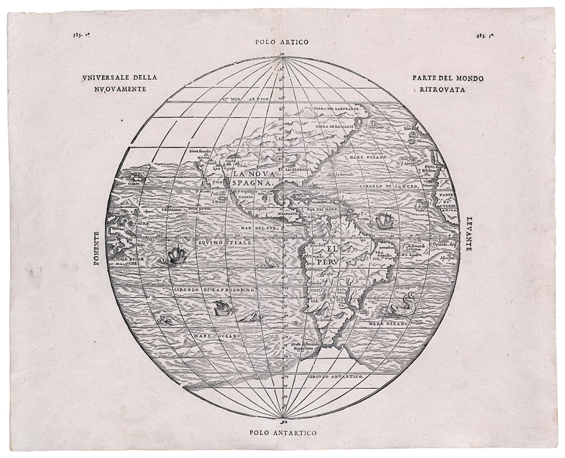
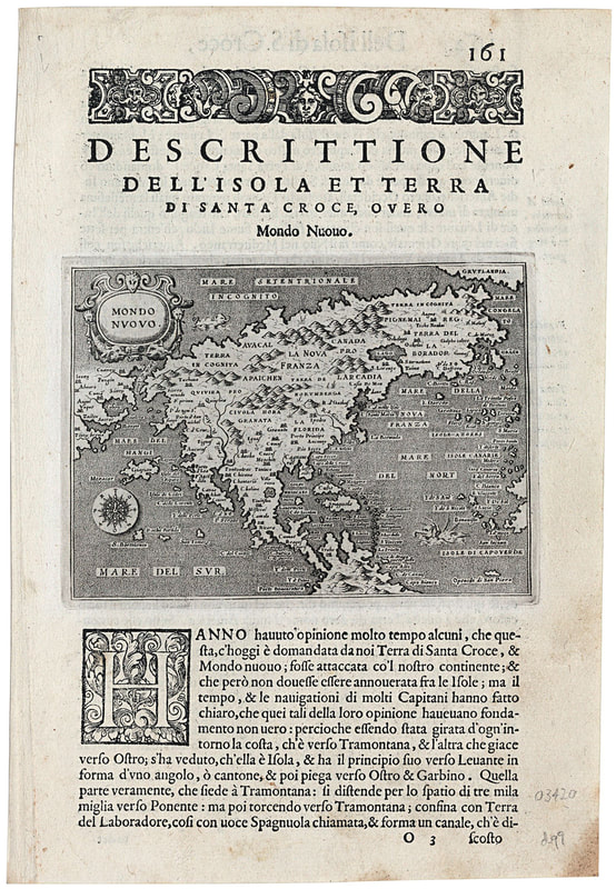
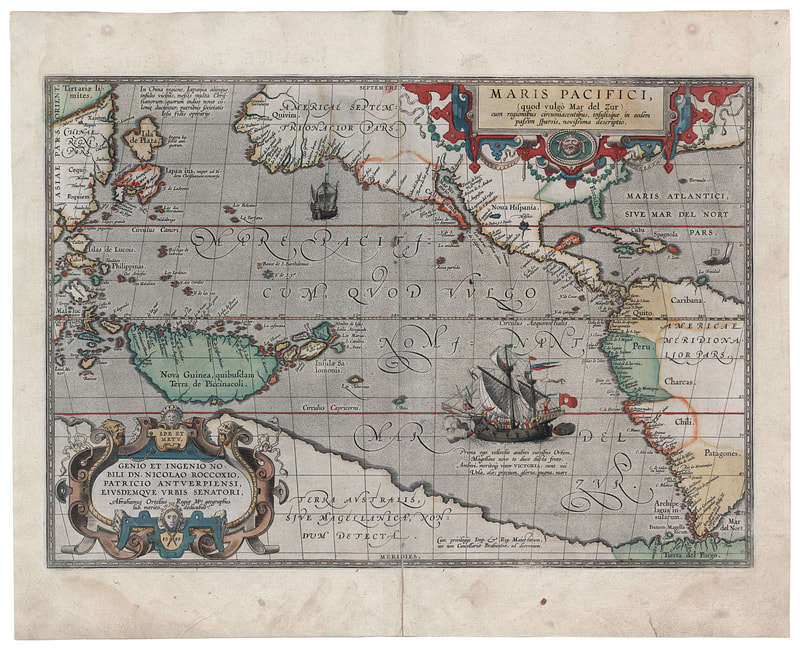
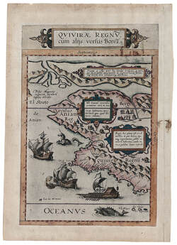
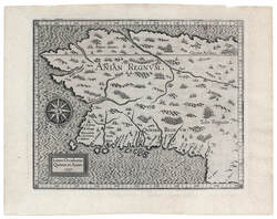
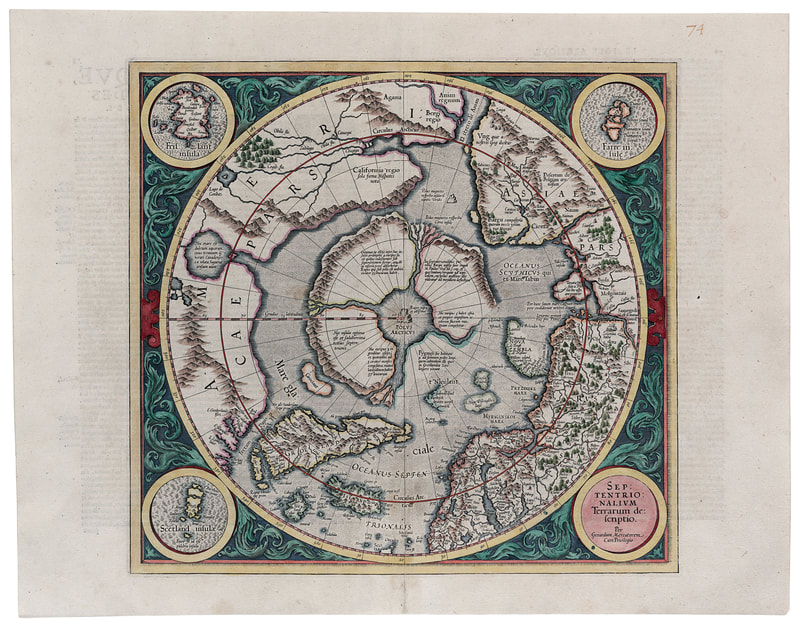
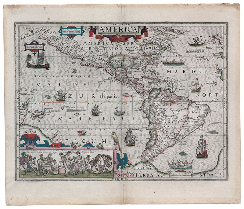
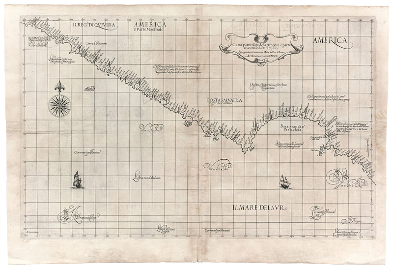
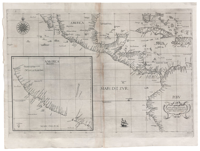
This gallery includes ten woodcut and copperplate engraving maps depicting the earliest explorers' reports of the New World.
The earliest explorers, Columbus, Verrazzano, Magellan, Coronado, Cabrillo, and others first probed the New World and returned with reports that were amazingly accurate for the time. However, because the gaps in territory charted and knowledge gained were necessarily greater than were the areas actually explored, the maps resulting from those early expeditions represent as much fantasy as fact.
From Coronado's exploration north of Mexico into what is now the American Southwest came the Legend of Quivira, a kingdom thought to be enormously wealthy and civilized and, most important from the European point of view, a cultured civilization trading with China and the Orient. The idea of Quivira was enticing not only because of its supposed wealth and culture but even more because it offered the possibility of opening a new trading route to the East thereby breaking the monopoly of Portugal in the lucrative spice trade.
The lure of Quivira motivated explorers for more than two hundred years and was intimately linked with the conviction that a sea route around the top of the North American continent existed. This linkage inspired Francis I, the king of France, to commission Jacques Cartier, between 1534 and 1536, and English financiers to back Henry Hudson, in 1610, to find the fabled Northwest Passage in hope that the Quivirans would in turn lead them to China.
All the early maps depict a separation of the Asian and North American continents in the polar region despite the fact that no European reached that part of the world until Bering's expedition in 1741. On even the earliest maps the passage of water separating the continents was labeled the Strait of Anian and appears consistently until the middle of the eighteenth century. The persistence of the widespread conviction that the Strait of Anian existed is, perhaps, one of the greatest mysteries of early European cartography.
Collectively, the maps in this section constitute a significant representation of European knowledge of the northwest coast of America in the sixteenth century. Some are quite rare; all are works of art as much as compendiums of knowledge, and close examination will reveal in them a heady mixture of fact and fantasy.

